Gulf Shores
West Beach Gulf front
Records to pull before you plan Gulf-front work
West Beach is the Gulf-front strip west of Little Lagoon Pass, along West Beach Boulevard (Highway 182).
Explore West Beach Gulf frontPick the guide nearest your shoreline. There are 13, in two regions. Gulf Shores has the beach, Little Lagoon, the canals, the Intracoastal Waterway and Plash Island. Fort Morgan and South Baldwin has the peninsula, Bon Secour, Magnolia Springs and Weeks Bay.
Thirteen guides: eight inside Gulf Shores, from the Gulf beaches to Little Lagoon and the Intracoastal, and five across Fort Morgan and the rivers to the north. Each one says who permits work there, how the water behaves and what to look at on your wall.
Choose a label to open local resources →Tap a community on the map or below ↗
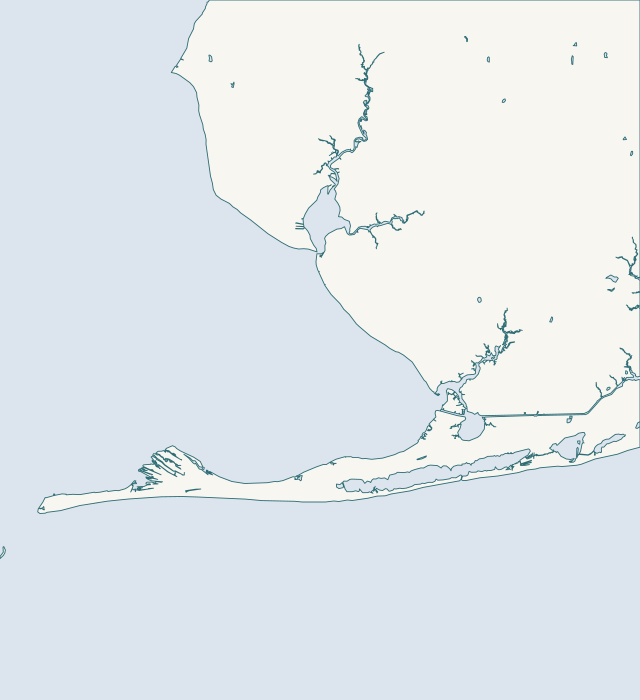
Choose a guide for local maps, permit starting points and the records to gather for your property.
13 local guides
Records to pull before you plan Gulf-front work
West Beach is the Gulf-front strip west of Little Lagoon Pass, along West Beach Boulevard (Highway 182).
Explore West Beach Gulf frontDocuments a board should gather first
East Beach runs from Little Lagoon Pass east toward Gulf State Park.
Explore East Beach & the public beachRecords worth pulling for a lagoon-side lot
The north shore is the Fort Morgan Road (State Route 180) side of Little Lagoon, inside Gulf Shores at Mo's Landing.
Explore Little Lagoon north shore & Mo's LandingChecks to run on a south shore lot
The south shore is the West Beach Boulevard side of Little Lagoon, from the pass west to Bon Secour National Wildlife Refuge.
Explore Little Lagoon south shore & west endHow to find out what is already on record for your lot
Little Lagoon Pass runs under the Lee Callaway Bridge on West Beach Boulevard (Highway 182), about three miles west of Highway 59.
Explore Little Lagoon Pass & the Callaway BridgeHow to learn what your canal lot is allowed to do
Stanton Creek and the old-town canals sit at the east end of Little Lagoon, inside the City of Gulf Shores near Highway 59.
Explore Stanton Creek & the old-town canalsHow to find the line, the district and the office for your lot
The waterway runs east to west through Gulf Shores, crossed by the Highway 59 bridge, which the zoning code calls the W.
Explore Waterway Village & the IntracoastalHow to confirm the permit office with both offices
Plash Island and the lower Bon Secour River shore sit north and west of the Intracoastal Waterway.
Explore Plash Island & the Oyster Bay shoreFour steps before you call anyone about the dunes
Gulf-front lots on the Fort Morgan Peninsula lie west of the Gulf Shores city line, in unincorporated Baldwin County.
Explore Fort Morgan Gulf sideBefore you price a bay-side pier or wall
Fort Morgan's bay shore runs from Navy Cove to Mobile Point in unincorporated Baldwin County.
Explore Fort Morgan bay side & Navy CoveFour steps for a Bon Secour river lot
Bon Secour is an unincorporated village on an 8-mile working river.
Explore Bon Secour & the Bon Secour RiverFour steps before you hire for a Magnolia River job
Magnolia Springs is a small river town of 811 residents in 2020.
Explore Magnolia Springs & the Magnolia RiverFour steps before you design on Weeks Bay or Fish River
Weeks Bay, Fish River and Marlow are unincorporated Baldwin County.
Explore Weeks Bay, Fish River & MarlowCounty permits, flood maps and parcel records for Fort Morgan, Bon Secour and the river shores.
Tell us where your property is and what your seawall or dock needs.
Built on Gulf Shores and Baldwin County permit rules, Alabama coastal law, public bids and storm records.